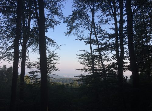

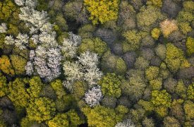


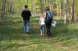
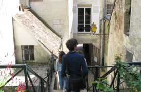


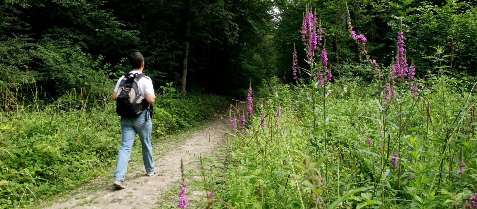
A veritable green lung north of Paris, the three forest massifs of Halatte, Chantilly and Ermenonville are a paradise for walkers and hikers.
More than 1000 kilometers The GR11, GR12 and PR footpaths criss-cross our region. An excellent way to discover a unique natural and cultural heritage and take a deep breath...
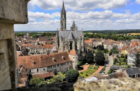
Fleurines, Senlis and the ponds of Commelles are also stages of the Camino de Santiago by taking the GR 655 from Maubeuge to Paris.
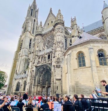
Notice to pilgrims: don't miss the St Jacques so-called Bailli chapel in Senlis Cathedral and have your credential stamped at the tourism office.
Discover the different itineraries offered by the Oise-Pays de France Regional Nature Park:
16 balades to discover the riches of the Oise Pays de France Regional Natural Park through its forests, its plains and the assault of the mountains! These plates show you the route to follow (with an extract from the IGN map), the time, the difficulty, the number of kilometers and the curiosities to discover during your walks.
Also downloadable below, along with some useful tips:
Our experience with the "Aumont en Halatte on the Alta mountain" route: Unmarked route but the indications are simple, impossible to get lost and it is even possible to shorten it. In spring, daffodils and hyacinths give colour to the forest! For those with an eagle eye, look for the armorial markers, some of which date back almost half a millennium!
Our experience with the course "Ermenonville Forest, in the forest of the abbeys": A signposted route "Un air de Méditerranée", easy and sandy. A little bit like the moors with sand, heather and limestone rocks, you almost expect to come to the sea! Picnic tables at the Chaalis hut will welcome you for a country lunch or a snack at the end of the walk!
Our experience with the "Ermenonville - A moorland atmosphere" route: Nice balcony walk with a little bit of difference in level and sandy sections. Be careful not to be bewitched by the druidic stones and by the viewpoint at the Pierre Sorcière. Don't leave without a visit to the Jean-Jacques Rousseau park, which is open during the summer months, where you will find romance and calm.
Our experience with the course "Mont l'Evêque, a village linked to its forest": The circuit begins with a tour of the village, don't hesitate to pass through the gate of the Château de Mont l'Evêque and take a walk in its park, which is freely accessible to all. Near the wash house and the Nonette, picnic tables await hikers for a meal shared with family or friends. At the exit of the village, before turning right, do not miss a shield shelter, a vestige of the Chauvineau line. WARNING: muddy sections in case of heavy rain - Passage through the military zone, so access may be closed - To find out which areas are hunted from the end of September to the end of March, call the town hall or the Departmental Hunting Federation of the Oise
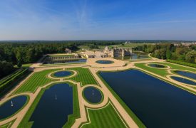
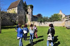
Our experience with the course "Montépilloy - Fourcheret, a great escape": Yellow or soft green in spring or blond and beige in summer, the fields along the path undulate in the wind. The two prominent landmarks of the surroundings stand out against the blue sky: Senlis cathedral in the distance and the tower of the Montépilloy castle that you will see throughout this walk! Cereal barns, old 16th century farms and signs of prehistoric occupation alternate with fields and horse pastures. It is possible to take shortcuts and visit the Montépilloy castle in the beautiful season!
Our experience with the course "Orry la Ville, in the monks' forest": Walk and forest accessible from Orry-la-Ville station. Easy route passing through pretty hamlets and the castle of Hérivaux. In spring, frogs and dragonflies populate the ponds and waterholes along the way.
These free brochures are available at the Tourist Office.
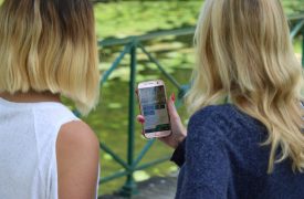
Deux applications utiles pour vos randonnées :
L’application Oise Rando
Avec Oise rando, découvrez des itinéraires adaptés à toutes vos envies, partagez vos aventures et profitez de la nature en toute sécurité. Et comme vous êtes géolocalisés à tout moment, découvrez de nouvelles balades et randonnées à pied ou à vélo autour de vous facilement !
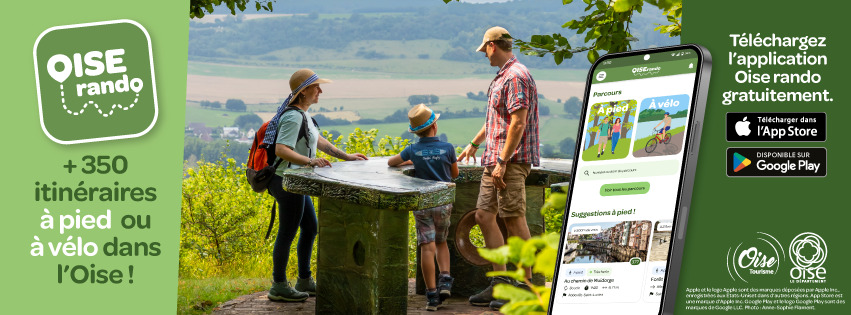
Laissez-vous guider par Oise rando :
- Navigation même hors ligne grâce au téléchargement de vos parcours
- Des parcours accessibles à pied, à vélo et même en VTT
- Plus de 350 itinéraires dans l’Oise, il y a forcément une rando près de chez vous !
- Des filtres et catégories pour trouver LA rando idéale
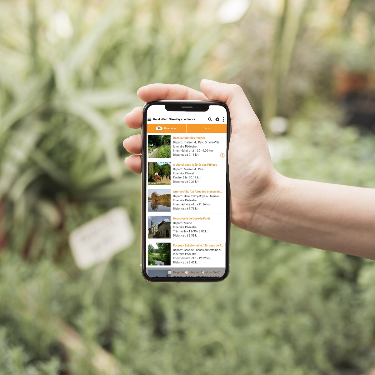
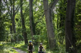
Lovers of hikes and walks, with the “Rando Parc Oise” app, you won't get lost anymore!
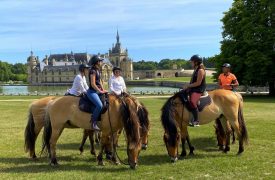
It is possible to select routes according to your mode of travel, on foot, by bicycle or on horseback, the length or the difficulty!
Developed by the Park and its partners, choose from the 80 itinéraires geolocated and animated by points of interest illustrating the rich natural and built heritage of the Park.
More than 400 km of trails, more than 120 tourist points of interest and 44 tourist reception points are available to you!
A free application to download from the stores by typing “hiking Parc Oise”.
Friends, hikers and visitors, nature is fragile: help us protect it!
Follow and enforce these few tips:
- Je ne gare pas ma voiture n’importe où, j’utilise les parkings indiqués.
- Lors de mes balades, je reste sur les sentiers.
- Je respecte les propriétés privées.
- J’évite de laisser des traces, j’emporte mes déchets.
- J’apprends à ne pas faire du bruit.
- Je ne cueille pas de plantes, certaines sont protégées et j’évite de manger les fruits des bois (risque de maladies).
- Si je suis accompagné d’un animal, je le tiens en laisse pour ne pas gêner les animaux sauvages et les autres promeneurs.
- Je ne donne pas à manger aux oiseaux d’eau, ça les rends malades.
- Je suis tolérant et courtois avec les personnes que je rencontre.
- En période de chasse d’octobre à mars, dans les parcelles chassées, je respecte les panneaux et les consignes des chasseurs. Les forêts domaniales ne sont pas chassées le dimanche.
- Je suis vigilant et compréhensif en traversant des chantiers forestiers, ils permettent la gestion de la forêt.
- Je m’équipe en fonction de la météo, je me munis de cartes, jumelles, loupes et je pars à la découverte.
- Je n’allume pas de feu, les risques d’incendies sont réels.
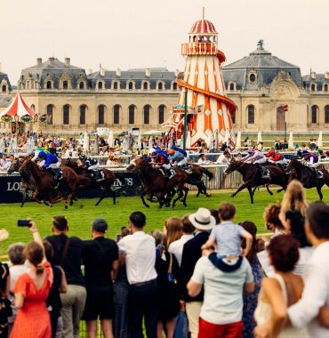
- Je suis très attentif à proximité des pistes d’entraînement des chevaux de course. Je reste en retrait et les laisse passer.
- Je privilégie les transports en commun et le covoiturage pour me rendre sur le lieu de mon excursion et en revenir.
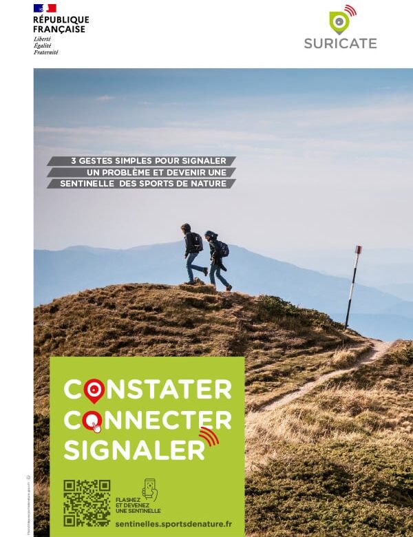
Soyez un randonneur vigilant avec SURICATE !
Vous êtes en pleine balade, et voilà qu’un arbre décide de faire la sieste en travers de votre chemin ? Ou peut-être que le balisage a joué à cache-cache ?
Pas de panique ! Grâce au dispositif SURICATE, vous pouvez signaler en un clin d’œil ces petits tracas rencontrés sur les sentiers. En quelques clics, vous pouvez informer les gestionnaires locaux, qui interviendront rapidement pour que nos parcours restent agréables et sécurisés pour tous.
Ensemble, préservons la qualité de nos sites, de nos espaces, de nos spots. Rejoignez la communauté des Sentinelles des sports de nature !
Our Council
The tourism office also sells the IGN hiking map "Forests of Chantilly, Halatte and Ermenonville" (Top25) to prepare your own circuits.